Cycling Route
Spandelles > Soulor > Aubisque
About the route
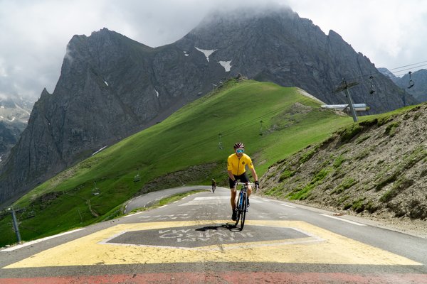
This challenging route covers 79km with +2368m of vertical climbing. Starting from Cycl'in Pyrénées in Argelès-Gazost, the route begins with the climb to Col d'Aubisque (1709m) via Col du Soulor. Continuing on, the route takes you to Col de Spandelles (1378m) via Argelès-Gazost. Continuing on, the route takes you to Col du Soulor (1476m) via Col d'Aubisque. Finally, you'll tackle Col du Soulor (1474m) via Ferrières before returning to Cycl'in Pyrénées in Argelès-Gazost to complete the route.
Depart: Cycl'in Pyrénées
Arrival: Cycl'in Pyrénées

Why You Should Plan Your Routes BEFORE You Book
Many cyclists book accommodation first, only to discover their location limits the routes they can ride. Plan your rout…
Read more →
Pyrenees Cycling Holiday Essentials Checklist
Planning a cycling holiday in the Pyrenees? Our comprehensive checklist covers everything you need to pack, prepare, an…
Read more →
About Colpasso
Colpasso was born from a simple observation: cyclists were riding on busy roads when quieter alternatives existed. Base…
Read more →