Rolling out of l'Argalyde towards the north today...
Loading map
Cycling Route
Spandelles > Soulor > Aubisque
{# Locked route. Climb cards first, straight under the elevation
profile (filled by JS); then the intro, the departure and the
first segment in the clear; then blurred placeholder copy —
not the real narrative, so removing the blur reveals nothing —
punctuated by the real col signs, with a Reveal button that
opens the unlock modal. #}
About the route
This challenging route covers 83km with +2444m of vertical climbing. Starting from l'Argalyde in Ayzac-Ost, the route begins with the climb to Col du Soulor (1474m) via Ferrières. Continuing on, the route takes you to Col de Spandelles (1378m) via Argelès-Gazost. Continuing on, the route takes you to Col d'Aubisque (1709m) via Col du Soulor. Finally, you'll tackle Col du Soulor (1476m) via Col d'Aubisque before returning to l'Argalyde in Ayzac-Ost to complete the route.
Depart: l'Argalyde
Turning off towards Ouzous the climb is just over 1km long, but gradients do get over 10% at times. It is worth the effort though. The village has expansive views back over the entire valley.
Beginners who find the Ouzous climb too challenging can simply turn around and roll back down to join the main road for a flat ride back into Argelès.
Ouzous
After gliding through the village of Salles, there's a quick, sweeping descent before you climb up again through Sère-en-Lavedan; the start point for Col de Spandelles.
Sère-en-Lavedan
COL DE SPANDELLES
Alt. 1378 m
COL DU SOULOR
Alt. 1472 m
COL D'AUBISQUE
Alt. 1709 m
COL DU SOULOR
Alt. 1476 m
Arrival: l'Argalyde

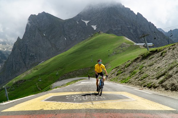
Why You Should Plan Your Routes BEFORE You Book
Many cyclists book accommodation first, only to discover their location limits the routes they can ride. Plan your rout…
Read more →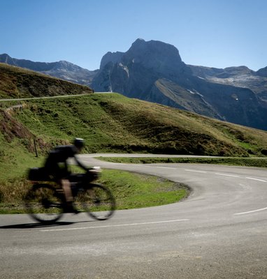
Pyrenees Cycling Holiday Essentials Checklist
Planning a cycling holiday in the Pyrenees? Our comprehensive checklist covers everything you need to pack, prepare, an…
Read more →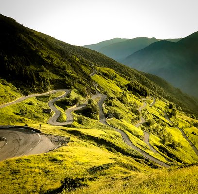
About Colpasso
Colpasso was born from a simple observation: cyclists were riding on busy roads when quieter alternatives existed. Base…
Read more →