To read the full description of this route, visit Cycl'in Pyrénées and buy the sticker. Every sticker unlocks the complete roadbook for its route.
LA CROIX BLANCHE
Alt. 831 m
The kilometre-by-kilometre notes, the GPX file and the water, café and WC stops are written by a local curator and reserved for riders who hold the sticker.
Nothing here is hidden by accident: the local knowledge behind this route is what the sticker pays for, and it is waiting for you at Cycl'in Pyrénées.
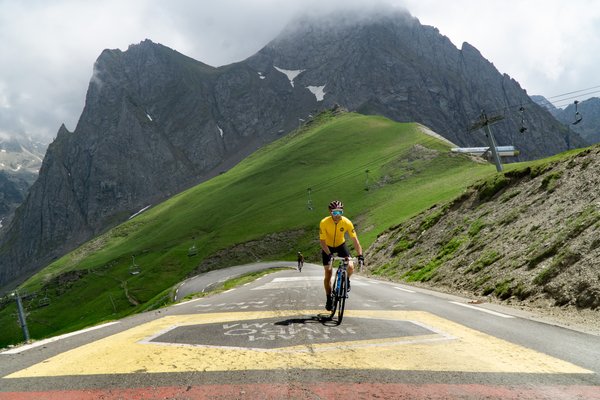
COL DU TOURMALET
Alt. 2108 m
Already have the sticker? Scan the QR code on it and the whole route opens on this page. Otherwise Cycl'in Pyrénées will sell you one in a minute.
To read the full description of this route, visit Cycl'in Pyrénées and buy the sticker. Every sticker unlocks the complete roadbook for its route.
The kilometre-by-kilometre notes, the GPX file and the water, café and WC stops are written by a local curator and reserved for riders who hold the sticker.